Description
DJI Matrice 4E: Revolutionizing Mapping and Surveying with Advanced Efficiency
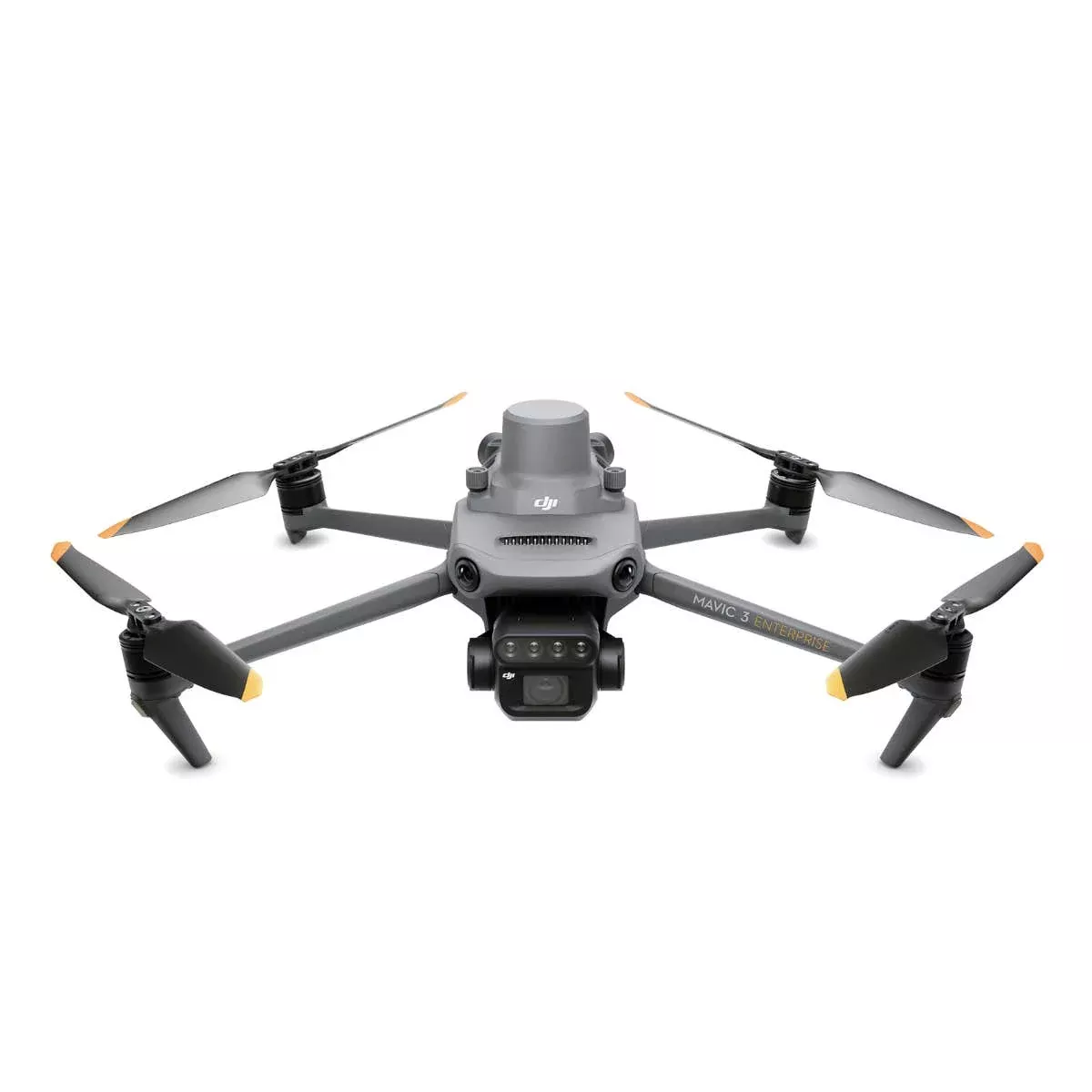
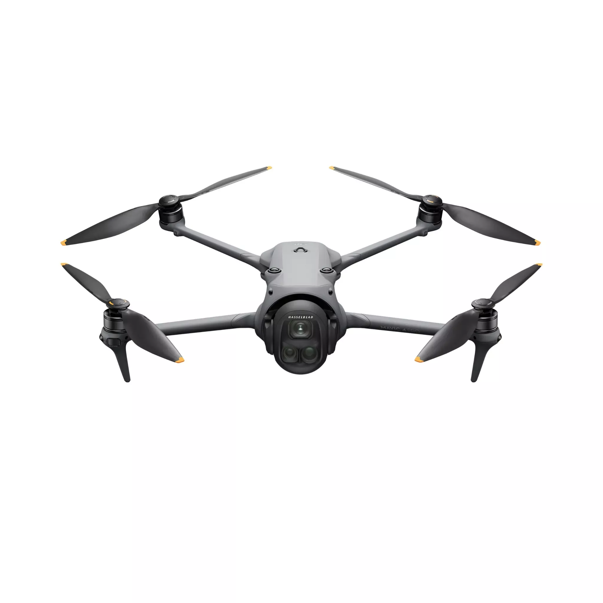
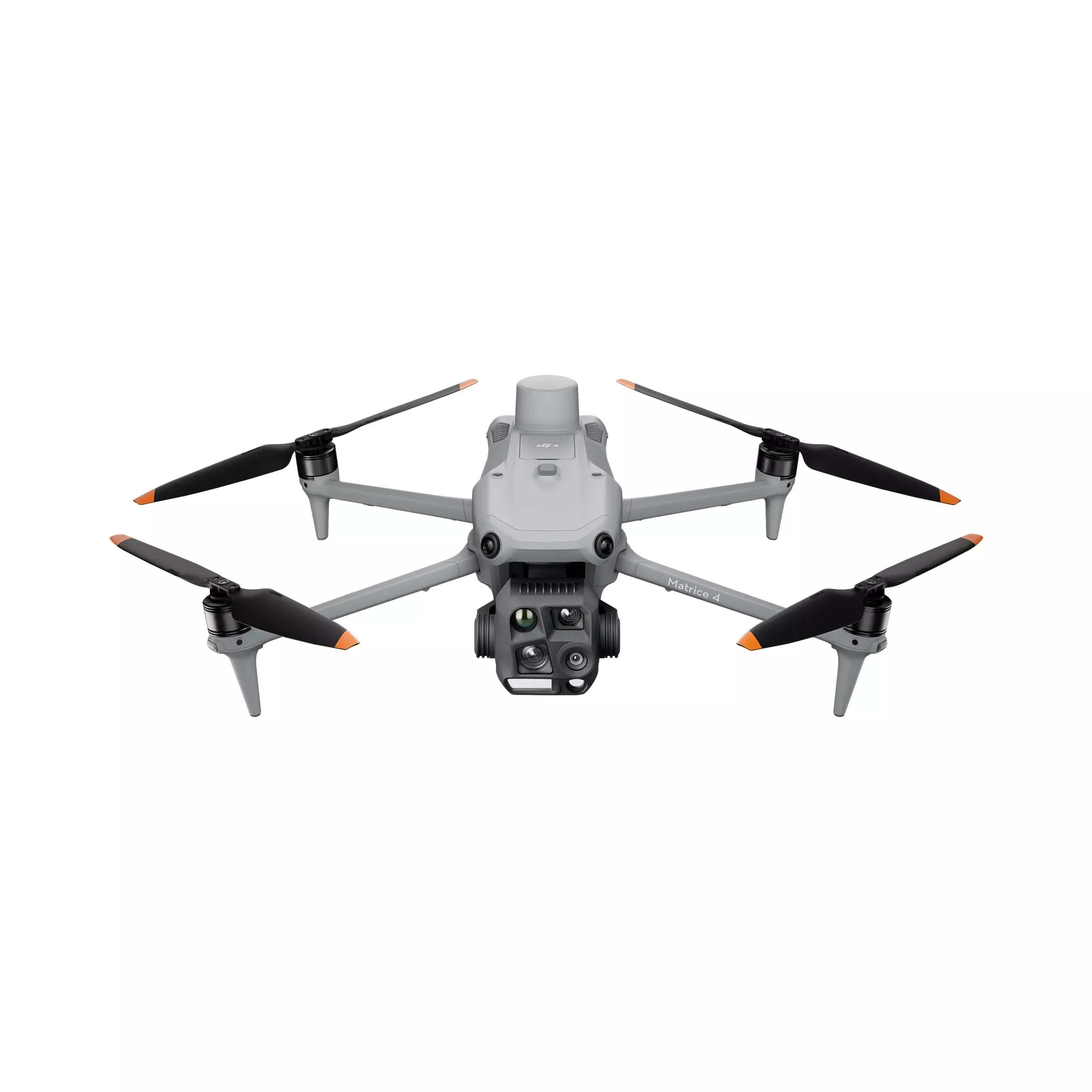
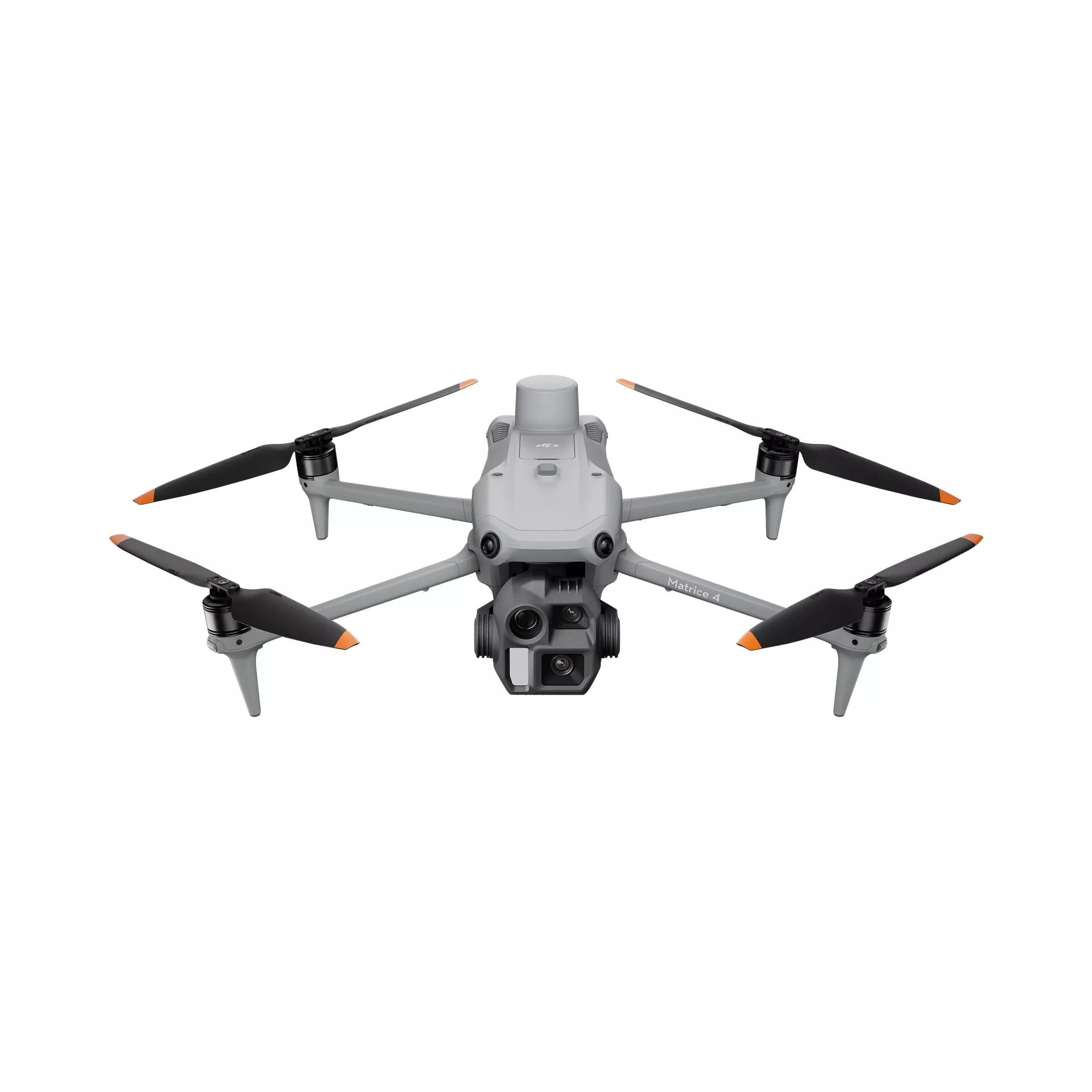
The DJI Matrice 4E is a professional mapping and surveying drone designed for geospatial data collection, photogrammetry, 3D modeling, and inspection workflows.
Built for surveyors, engineers, construction teams, and GIS professionals, it combines a 49-minute flight time, 5-directional oblique imaging, and advanced distortion correction to help capture accurate aerial data more efficiently.
Whether mapping large sites, creating digital twins, or generating topographic models, the Matrice 4E delivers the precision, coverage, and operational efficiency required for professional enterprise applications.